Mauritius is a year-round destination, but “year-round” does not mean “the same, everywhere, all the time.” For travellers, weather shapes beach comfort, visibility for diving, hiking conditions in the national parks, and the best coast for calm lagoons. For people researching Mauritius for relocation, investment, or business setup, understanding seasonal patterns matters for site visits, construction schedules, logistics, employee wellbeing, and business continuity planning.
Mauritius’ weather is also a public-safety topic. The Republic of Mauritius has established official warning systems for tropical cyclones and other hazards, and these advisories influence school closures, work arrangements, port activity, and travel disruption risk during certain periods. The most reliable way to plan is to understand the climate baseline first—then check official forecasts close to your travel or operational dates.
Climate at a glance
Mauritius has a mild tropical maritime climate with two main seasons: a warm, humid summer and a cooler, drier winter. Even within those seasons, conditions vary by coast and elevation, so a plan that works for Grand Baie may not fit Curepipe or the south coast on the same day.
Quick baseline indicators (long-term climatology):
- Warmest months: January–February
- Coolest months: July–August
- Wettest months: February–March
- Driest month: October
- Cyclone season (official): 1 November to 15 May
Key definitions
Tropical maritime climate (Mauritius): A coastal, ocean-influenced tropical climate where temperatures stay relatively stable through the year, humidity can be significant in summer, and weather changes can be fast—especially around higher ground and exposed coasts.
Microclimate: A local weather pattern shaped by terrain and exposure—such as windward coasts receiving more showers, or higher elevations being cooler and mistier than the coast. In Mauritius, short travel distances can still mean noticeable differences in temperature, wind, and rainfall.
Cyclone season (Mauritius): The official period when the risk of tropical cyclone formation and impact is highest. For Mauritius, this runs from 1 November to 15 May, although named systems can occur outside the window.
Seasons in Mauritius
Mauritius Meteorological Services describes two seasons, with May and October often functioning as transition months. Practically, most visitors and planners should think in terms of three operating modes: summer (warm/humid), winter (cooler/drier), and transitions (variable).
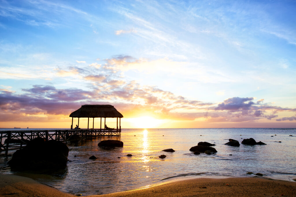
Summer: November to April (warm, humid, higher rainfall)
Summer is typically the warmest and most humid period, with a larger share of annual rainfall falling during these months. Expect a mix of sunshine and showers rather than uninterrupted rain—especially if you move between coasts and elevations during the day.
What summer means in practice
- More frequent showers and higher humidity, particularly inland and on windward areas
- Warmer sea conditions; many travellers find lagoon swimming comfortable
- Higher likelihood of weather advisories (cyclone activity, heavy rainfall episodes, swell events)
Winter: June to September (cooler, relatively dry)
Winter months are typically cooler and drier, with less humidity. This is often preferred for hiking, long outdoor days, and travellers who dislike humidity.
What winter means in practice
- Pleasant daytime temperatures, cooler evenings—especially inland
- Trade-wind exposure is more noticeable on the east and south coasts
- Sea temperatures are generally cooler than in summer; still swimmable for many, but comfort varies by person
Transition months: May and October (variable, planning sweet spots)
Mauritius Meteorological Services notes October and May as transition months. They can offer balanced conditions, but variability is higher: a calm week can be followed by wind, showers, or sudden hot spells.
Seasonal planning table
| Period | Typical feel | Rain & humidity | Wind & sea | Planning notes |
|---|---|---|---|---|
| Nov–Apr (Summer) | Warm, humid | Higher rainfall share; wettest often Feb–Mar | Cyclone season overlaps; occasional swell advisories | Build flexibility into itineraries; check official bulletins close to travel |
| May, Oct (Transitions) | Changeable | Can swing dry-to-showery quickly | Winds and sea conditions vary by coast | Good for mixed activities; pack for both sun and showers |
| Jun–Sep (Winter) | Cooler, less humid | Generally drier than summer | Trade winds more noticeable; east/south can feel breezy | Excellent for hiking; evenings can be cool inland |
Regional differences: where the weather changes first
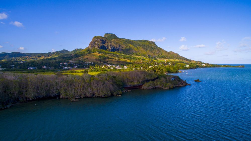
Mauritius is compact, but terrain matters. The Central Plateau (around Vacoas, Curepipe, and parts of Moka) tends to be cooler and can receive more cloud and mist than the coasts, while coastal zones often get more sunshine hours than higher ground.
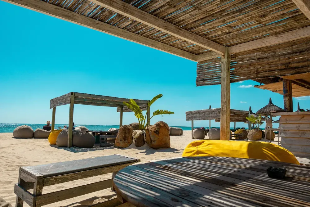
North (Grand Baie, Pereybère, Pamplemousses)
- Often chosen for beach time and dining; conditions feel more sheltered than the south in many periods
- Good base if you want short drives to Port Louis and the northern islets
West (Flic-en-Flac, Tamarin, Black River)
- Generally popular for sunsets and leeward-coast comfort
- A common choice for mixed itineraries (beach plus inland nature)
East (Belle Mare, Trou d’Eau Douce, Île aux Cerfs)
- More exposed to trade winds, especially in winter; the “feel” can be breezier
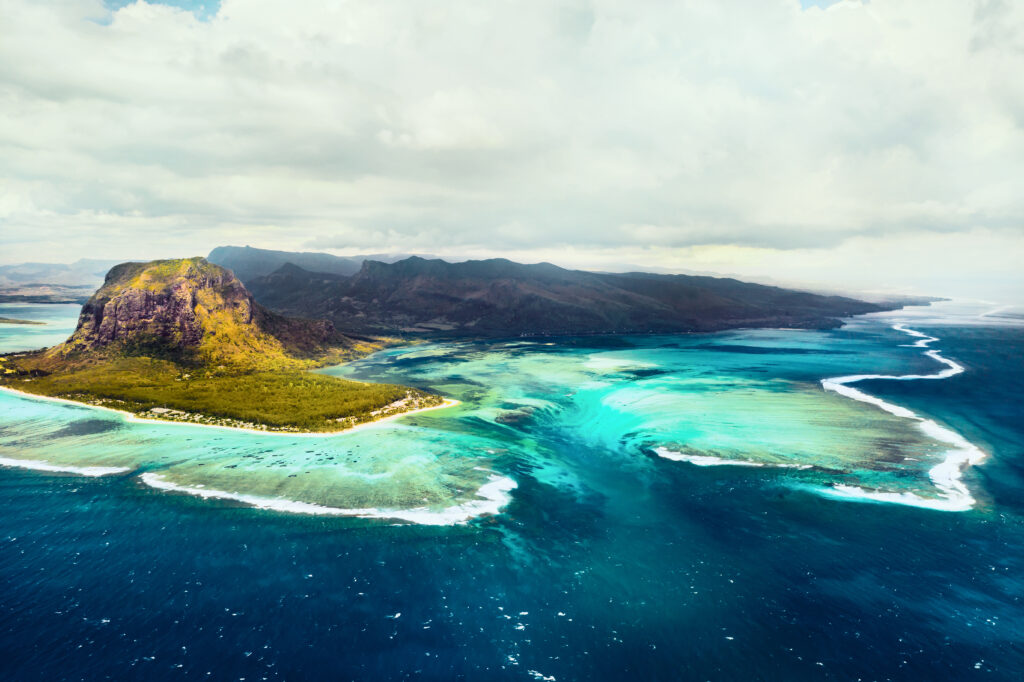
- Morning conditions can be excellent for lagoon activities when seas are calm, but check daily sea-state updates
South (Blue Bay, Mahébourg, Souillac)
- More exposed and can feel windier; the south is often perceived as “wilder”
- Great for scenic coastline drives; plan around wind and swell advisories
Central Plateau (Curepipe, Vacoas, Moka)
- Cooler than the coast; more cloud, mist, and reduced sunshine hours compared to coastal regions in both seasons
- Practical for professionals: comfortable daytime working conditions, but carry a light layer for evenings
How to use microclimates when planning
- Choose north/west bases if you prefer more sheltered beach days during windier periods
- Plan waterfall hikes and forest visits with the expectation that uplands can be wet even when beaches are sunny
- Build travel time buffers: a brief shower belt inland can slow roads while coasts remain clear
Weather risks and the official warning framework
For safety-critical decisions—aviation connections, boat excursions, site visits, and business operations—use official advisories. The national reference for forecasts and warnings is Mauritius Meteorological Services (based in Vacoas).
Tropical cyclones: season and warning classes
The official cyclone season runs from 1 November to 15 May. Mauritius Meteorological Services uses a Cyclone Warning System (Classes I to IV), which is designed around the expected timing of potentially damaging gusts.
Cyclone warning classes (simplified)
- Class I: Issued about 36–48 hours before gusts of 120 km/h are expected
- Class II: Issued to allow (as practicable) 12 hours of daylight before those gusts
- Class III: Issued to allow (as practicable) 6 hours of daylight before those gusts
- Class IV: Issued when gusts of 120 km/h are recorded in some places and expected to continue
- Safety bulletin / termination: Used to lift warnings and communicate residual hazards
Practical steps for travellers and businesses
- Treat boat trips, lagoon crossings, and offshore activities as weather-permitted, especially in summer
- Keep accommodation and transport flexible during the cyclone season window
- Follow the latest bulletins and guidance from official channels (do not rely on social media reposts)
Heavy rain, flash floods, and visibility changes
Short-duration heavy rainfall can cause localised flooding—particularly in low-lying urban areas and near rivers. Even outside cyclone events, cloud bands can bring concentrated showers. Official bulletins frequently note fog patches over higher ground, which matters for early-morning driving between upland towns and the airport corridor.
Heavy swell and sea-state advisories
Sea conditions can change quickly with distant systems. Mauritius Meteorological Services issues heavy swell warnings and related marine advisories. For travellers, this affects:
- Swimming outside lagoons
- Catamaran routes and departure decisions
- Coastal road spray in exposed stretches
Practical guidance: how to plan around the weather
If you’re travelling for leisure
Match your itinerary to season and coast
- Prioritise upland hikes and cultural touring during cooler, drier months (June–September)
- Use coastal flexibility in summer: if showers hit inland, shift to a leeward beach day
Typical packing checklist
- Lightweight rain layer (especially November–April)
- Sun protection (hat, sunglasses, high-SPF sunscreen)
- Reef-safe water shoes for lagoons and coral areas
- Light jumper for evenings inland (Central Plateau)
- Motion sickness tablets if planning catamarans during breezier periods
What about sea temperature?
The UK Met Office notes warm sea temperatures year-round, reaching around 27°C in summer. Personal comfort still varies, and wind exposure can make post-swim cooling more noticeable in winter.
If you’re travelling for relocation, investment, or business setup
Weather affects more than comfort—it can change the pace of site visits and the performance of buildings and equipment.
Use weather knowledge in due diligence
- Schedule site visits across different periods if possible (e.g., one in winter, one in summer) to observe wind exposure and drainage behaviour
- Ask about humidity management (ventilation, corrosion protection, moisture control) for coastal properties
- Consider business continuity planning during cyclone season—remote work readiness, backup power, and supply chain buffers
Know the relevant institutions
- The Economic Development Board (EDB) is a central government agency supporting investment promotion and facilitation.
- For entry, visas, and immigration-related requirements, the Passport and Immigration Office is the competent authority.
These bodies are not “weather agencies,” but weather-aware planning improves the quality and realism of relocation timelines, project milestones, and travel schedules.
Common mistakes and misconceptions
- “Rainy season means it rains all day.”
Summer has more rainfall, but showers are often intermittent and localised; you can frequently plan around them by shifting location or timing. - “The whole island has the same forecast.”
Elevation and exposure create real differences; coastal sunshine hours can exceed high-ground sunshine hours. - “Cyclone season means a cyclone will hit during my trip.”
Cyclone season indicates heightened risk, not certainty. Many visitors travel during this period without a direct impact—but flexibility and official monitoring are essential. - “Winter is cold.”
Winter is cooler and drier; inland evenings can feel cool, but conditions remain mild relative to many temperate-climate winters. - “If the lagoon looks calm, the ocean is safe.”
Heavy swell advisories can make exposed coasts dangerous even when sheltered lagoon areas appear manageable.
Quick answers
When is the best weather in Mauritius?
For cooler, lower-humidity conditions, the period June to September is typically the most comfortable.
When is cyclone season in Mauritius?
The official cyclone season is 1 November to 15 May.
What are the wettest and driest months?
Long-term climatology identifies February–March as the wettest months and October as the driest.
Is the weather different across coasts?
Yes—coasts and the Central Plateau can experience noticeably different sunshine, temperature, wind, and rainfall patterns on the same day.
Where should I check official warnings?
Use Mauritius Meteorological Services for official forecasts and warning bulletins, including cyclone classes and marine advisories.